SURVEY SERVICES
Scanning Sonar Survey
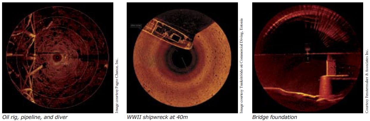
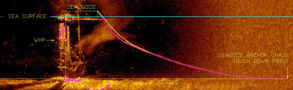
PT. Geotindo Survey Services offers advanced scanning sonar survey capabilities using the Kongsberg Mesotech MS1000 system. This state-of-the-art sonar system, operating at 675 kHz, is ideal for imaging and profile data collection in areas where traditional sonar systems and moving survey vessels are impractical. The MS1000 can produce accurate two-dimensional representations of underwater structures and detailed bathymetric data, with a range of 1.0m to 100m and a resolution of approximately 19mm.
Our scanning sonar services are perfect for a wide range of applications, including:
1. Oil rig inspections: Providing crucial underwater imaging for safety and maintenance.
2. Pipeline and diver positioning/support:
Ensuring precise and reliable data for operational efficiency.
3. Detailed shipwreck imaging: Offering comprehensive visuals for historical documentation or salvage operations.
4. Bridge foundation assessments:
Delivering detailed insights into the structural integrity and potential issues of underwater components.